 夜雨聆风
夜雨聆风
Counties have been continuously serving as basic administrative divisions throughout ancient and modern China, and population has always been the focus of national governance. Thus county-level population data is of great significance for understanding spatial pattern of governance in ancient China, and is also basic data for studying urban system of ancient China. However, due to twists and turns in history, most of the county population statistics before Qing Dynasty (1644~1911AD) have been lost, and need to be obtained through data reconstruction process. Based on publicly available historical statistical data on prefecture level, this study combines raster terrain data and vectorized historical geographic data, simulates population distribution of 4 representative dynasties through geo-calculation method, and estimates the population data of 6,089 counties in the years 2, 742, 1102 and 1820AD. By preliminarily reconstructing population distribution and county-level population sequence of representative time slices, the evolution of key administrative districts and habitat regions in different eras has been revealed.
县制贯穿古今,始终是中国的基本行政区划,人口也历来是国家治理的重心。因此,县级人口数据对于认识古代中国的治理空间格局具有重要意义,亦是研究古代中国城市体系的基础数据。然而,由于历史的曲折动荡,清代(1644~1911年)以前的县级人口统计大多已经散佚,须通过数据重建方能获取。本研究基于已公开的府级历史统计资料,融合栅格地形数据与矢量化历史地理数据,运用地理计算方法模拟了四个代表性朝代的人口分布,并估算出公元2年、742年、1102年及1820年共6089个县的人口数据。通过初步重建代表性时间断面的人口分布与县级人口序列,揭示了不同时代关键行政区与聚居区域的演变特征。
*Descriptor of this data has been published in journal Scientific Data. Citation format: Zheng, Y., Wu, T. County-level population dataset of ancient China in 2, 742, 1102 & 1820 AD. Sci Data (2026). https://doi.org/10.1038/s41597-026-07086-6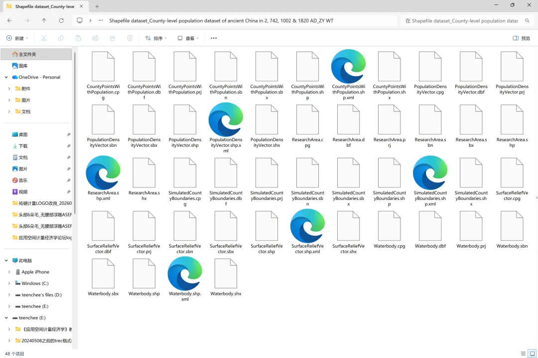
图1 全套文件
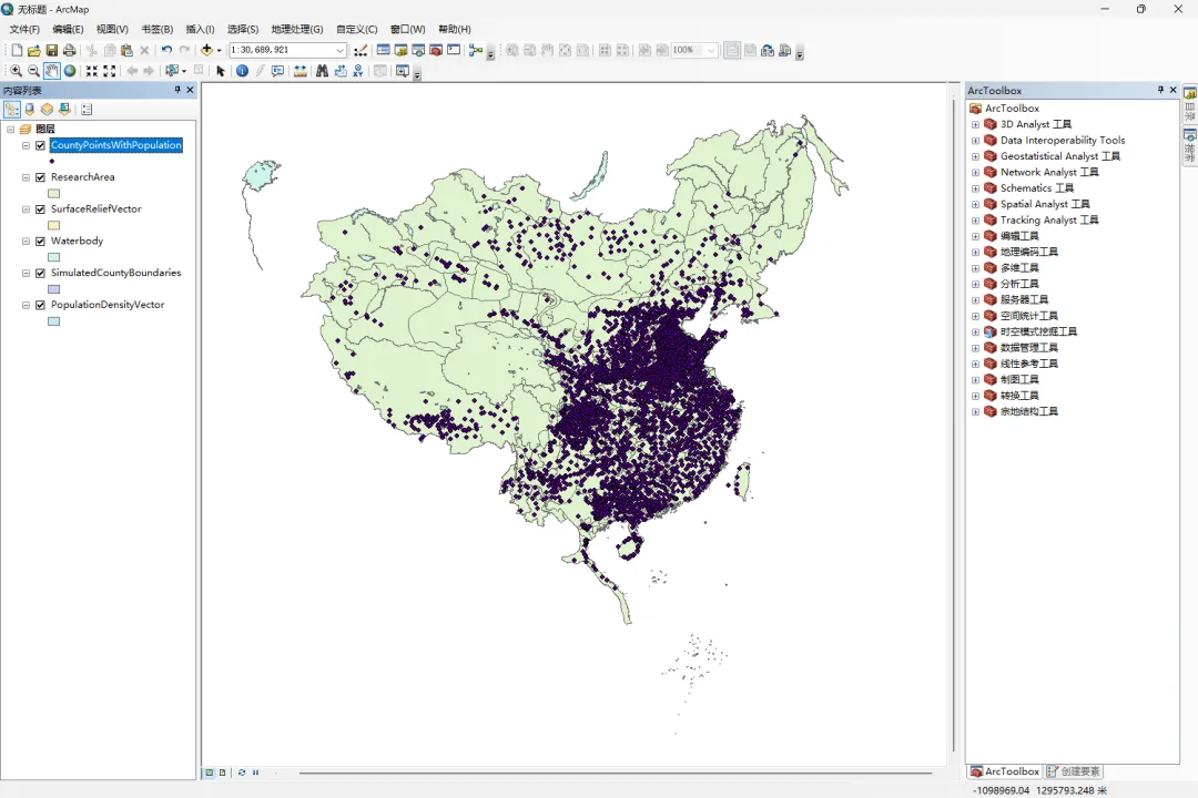
图2 文件打开后的效果
百度网盘下载链接:
通过网盘分享的文件:County-level population dataset of ancient China in 2, 742, 1102 & 1820 AD链接: https://pan.baidu.com/s/1BWB7ePzVjfN0XLjoUVhZnw?pwd=asef 提取码: asef--来自百度网盘超级会员v8的分享